Script change over time. In the last few hours, heavy rains have been recorded in large areas of the country, especially in the Eastern Cantabrian Sea – 107 liters per square meter in Bera (Navarra) and 104 in San Sebastián – and very strong showers in Catalonia – 48 liters in one hour in Moia (Barcelona) and 37 in Manresa ( Barcelona)-. Furthermore, temperatures have clearly fallen, with frost last morning in high mountain areas, with -6° in Sierra Nevada and -4° in the Picos de Europa. But this Friday “the rains will decreasealthough they will persist in the extreme north and may still be strong in parts of Catalonia” and, looking ahead to saturday and sunday“the anticyclone is going to gain ground, with generally stable weather and rising temperatures, but it will still continue to rain in the northern half, especially in Galicia,” according to Rubén del Campo, spokesperson for the State Meteorological Agency (Aemet.
And next week “will begin with stable weather“, calm weather in general, although on Tuesday and, above all, Wednesday, the situation could become unstable in the peninsular Mediterranean area, also in the Balearic Islands with locally intense rains.”
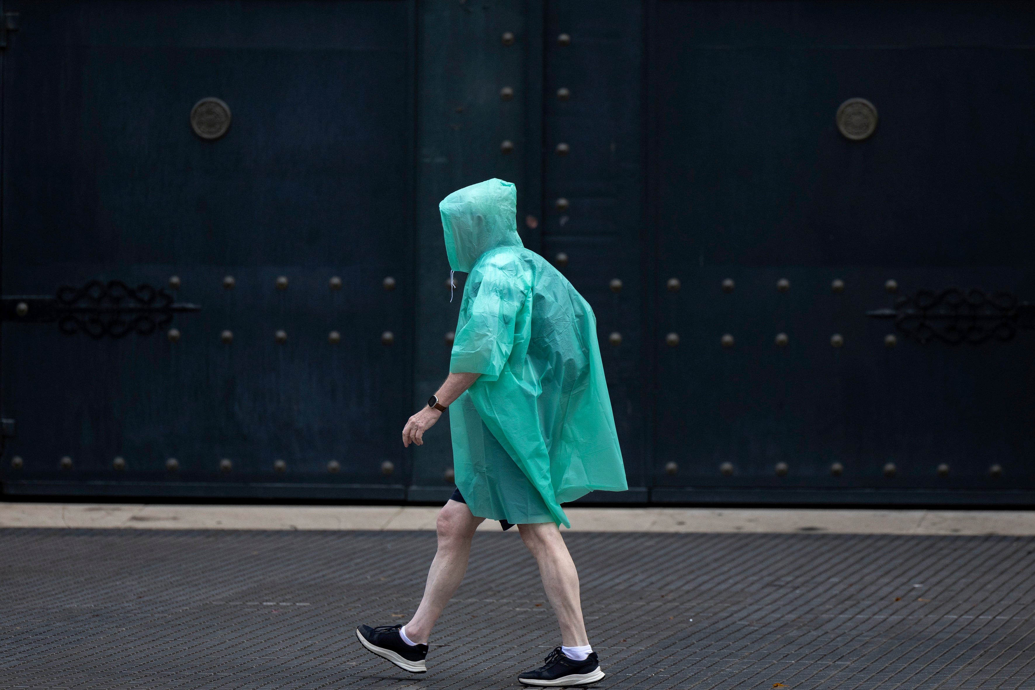
For a start, This Friday the weather will still be unstable in the northespecially in Galicia, the Cantabrian Sea, the Pyrenees and northern Catalonia. “In this last region there will be locally strong stormy showers, especially in parts of the province of Girona. It will snow in the Pyrenees above 1,800/2,000 meters and there could be some weaker showers in the rest of the northern half, especially in mountainous areas and also in the Balearic Islands in the afternoon,” describes Del Campo. According to the thermometers, the atmosphere will be cool, “with maximum temperatures around 14° to 16° in the interior and at most it will reach 25° in parts of Murcia.” The wind will blow with intensity and all this will make it “a unpleasant day.”
On Saturday it will be something else: “Anticyclonic weather will prevail, more clearly in the southern half, because still in the north there will be remains of instability with rains in Galicia, abundant in the west of the community. It will also rain in Asturias, west of Castilla y León and more lightly in nearby areas.” Some showers are not ruled out in the Balearic Islands.
The wind will blow strongly in Galicia. “The cold air, on the other hand, is going to retreat little by little and temperatures will rise clearly, both at night and during the day,” completes the expert forecast. The atmosphere “will be typical of this time of year, with maximums of between 15° and 20° in the interior of the peninsula and between 20° and 25° in the coastal areas, somewhat higher in the southeast”, with 28° in Alicante and Murcia.
On Sunday, “a stable day with rain only in Galicia, which on the western coast will be abundant, and also with intense winds.” An isolated shower on Sunday in the Balearic Islands is not ruled out either. In the rest, the clouds will disappear from the skies and temperatures will continue to rise, especially in the Cantabrian Sea and the interior of the eastern half of the peninsula. “25° will be exceeded in parts of Andalusia, the Levant, the Balearic Islands and the Cantabrian communities,” says the Aemet spokesperson.
After a few rainy weeks, the next fortnight is likely to be drier in the west of the peninsula. On the other hand, precipitation could reach the Mediterranean area.
Prediction for the next three weeks 👉https://t.co/l8tBdFRsut
— AEMET (@AEMET_Esp) October 18, 2024
And on Monday, more of the same: generally slightly cloudy skies, except in the Cantabrian Sea and Galicia, where it will rain. Temperatures, in general, will rise “a little more.” On Tuesday, the passage of a front will once again fill the skies with clouds, which will leave rain in the far north. In addition, “the weather will begin to become unstable in the peninsular Mediterranean area and in the Balearic Islands, where there will be showers.” Temperatures “will drop, although in general they will continue to be typical of this time.”
On Wednesday, uncertainty in the forecast increases, but it is most likely that “the Mediterranean area will experience an increase in instability, which already began on Tuesday.” “There will be more clouds and more rain, which could be intense in the southern area of the Valencian Community,” predicts Del Campo. In the northern third, “it could also rain on Wednesday due to the passage of fronts associated with Atlantic storms.” No major changes in temperatures are expected.
In the Canary Islands, This weekend there will be “a regime of moderate trade winds to strong”, which will lead to clouds to the north of the most mountainous islands, where some drizzle may fall in that area. The skies will be, as usual, clearer in the south of the archipelago and temperatures will rise, although they will drop again on Monday. During the next week, “the trade wind regime will generally continue.”

