

The dust suspended in the atmosphere is gradually dissipating.
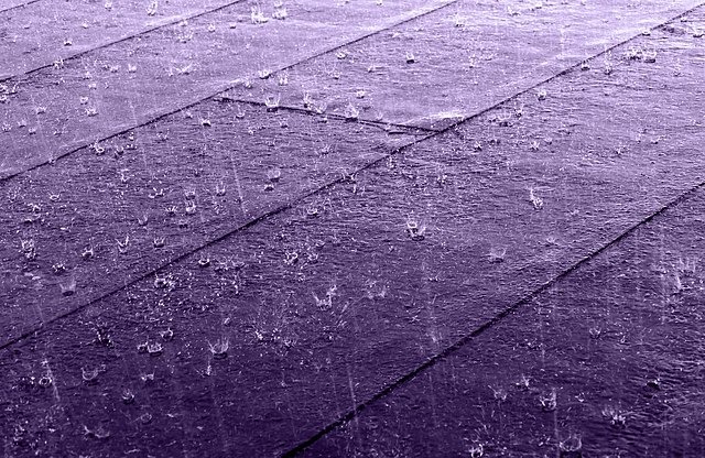
Today, the weather will initially be mostly cloudy with local showers and isolated thunderstorms possibly accompanied by hail, but these phenomena are expected to become isolated mainly in western and northern areas.
From noon onwards, cloud formations are expected to develop again, giving rise to renewed isolated showers and thunderstorms, mainly in mountainous, inland, and eastern regions.
Snow or sleet may fall on the highest peaks of Troodos.
Winds will mainly blow from the southwest to northwest, initially locally southeast to south, weak to moderate, 3 to 4 Beaufort, gradually becoming strong, 4 to 5 Beaufort, in the pre-coastal areas.
The sea will generally be slight to moderate.
The temperature will rise to around 17 degrees Celsius inland, around 19 in the southeast and eastern coastal areas, around 18 on the rest of the coast, and around 7 degrees Celsius in the higher mountains.
Tonight, locally increased cloudiness is expected to bring isolated showers, with the possibility of isolated thunderstorms, mainly along the coast.
Winds will initially blow mainly from the southwest to west, weak to moderate, 3 to 4 Beaufort, but later will become mainly onshore, weak, 3 Beaufort.
The sea will gradually become smooth to slight. The temperature will drop to around 6 degrees Celsius inland, around 9 in the south, east, and north coastal areas, around 11 on the west coast, and around 2 degrees Celsius in the higher mountains, where locally frost may form.